 Hi, I’m not Magi. I’m her son, Dainis. This is a “guest post” about a trip I took out to the Jasper area of the Rocky Mountains (near the Alberta-British Columbia border). Having recently finished my undergrad degree, I decided it would be good to get out of the city for a little bit of a break. I flew to Calgary and took the Greyhound bus to Jasper, arriving at the unfortunate time of 1:00AM.
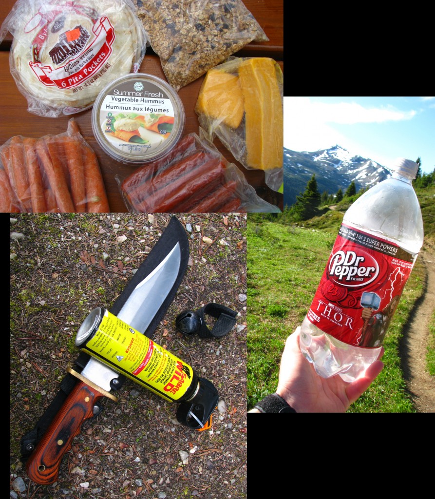
Backpacking Supplies (© Dainis Nams)
My kit consisted of the most essential of survival gear: high-energy food that can be eaten cold (so as to avoid the need for a cook stove), water (even in the mountains Dr. Pepper is an engineer’s best friend), and bear deterring items (I wanted any encounter to be as unfair in my advantage as possible). I also adopted a new wardrobe, with polyester shorts / sport shirt and windbreaker pants and jacket replacing my trusty jeans & T-shirt. When hiking I would wear the shorts and shirt, and when stopped I would put on the windbreakers for warmth. Changing clothing with such rapidity caused me reflect on the numerous times I had teased girls for the wearing of more than one outfit in a single 24 hour period.
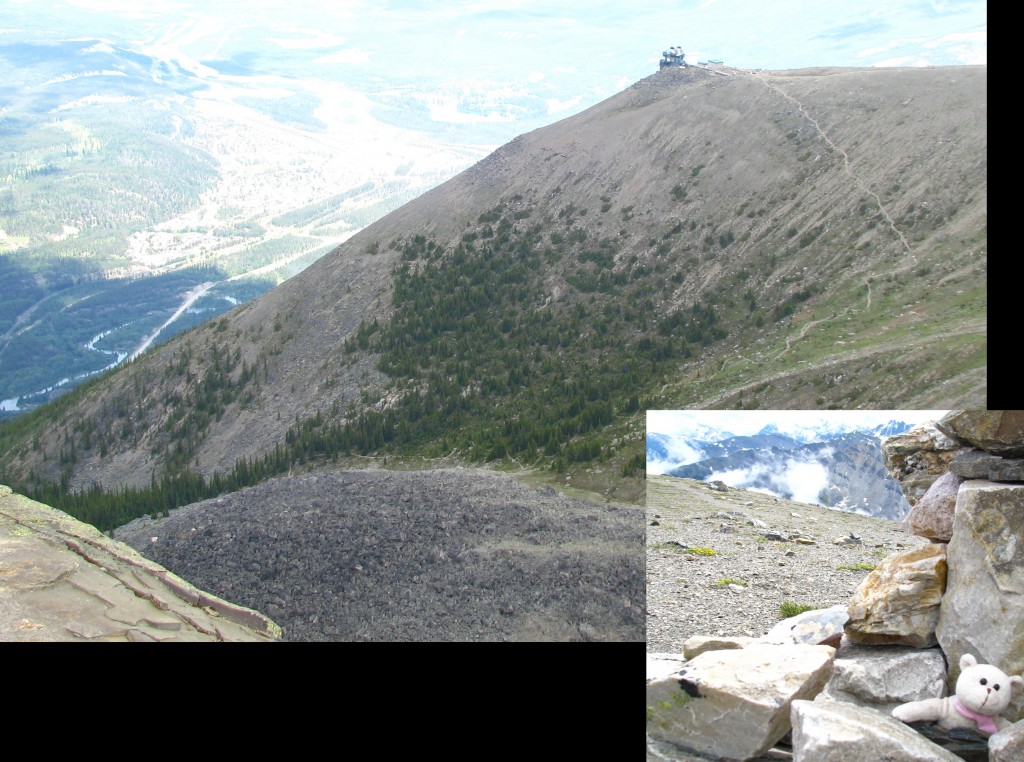
Whistler’s Mountain (© Dainis Nams)
On my first day I decided to hike up Whistler’s Mountain, which has a tourist-trap gondola that rides up to a well-endowed chalet above the tree line and minor stroll to the top of the mountain. However, there is a little-used trail that bypasses the gondola in favour of over a kilometer of elevation rise through foggy forest and washed-out landslides. This first introduction to the mountain trails turned out to actually be the most physically demanding of all my days in the area. I also saw my first bear at the top of the mountain!
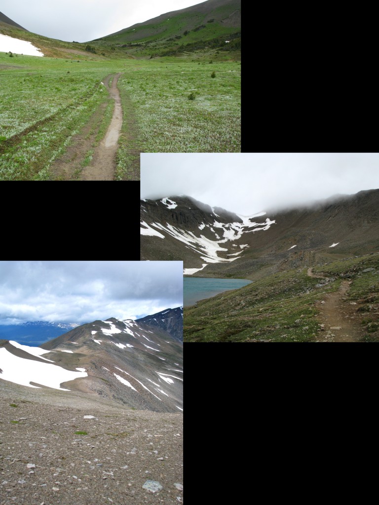
Skyline Trail (© Dainis Nams)
After that, I moved to a descriptively named three-day trail called the Skyline. Before setting out, I asked the park wardens what the snow conditions were like. Warden #1 got excited and gave me the confidence-boosting status that “someone finally managed to break through last week!” Having been thus reassured, I proceeded to ask for that most basic of items, a topographical map. Warden #2 told me that the trail “was like a highway” and I “probably wouldn’t” need a map. He was actually correct… for a while. The first part of the trail even had two-lane sections for improved passing! However, the trail faded completely as it wound up to a snow filled hazy area known only as “the Notch” (altitude 2480m). On the other side, the Skyline namesake became apparent as the trail followed a ridgeline through to its conclusion.
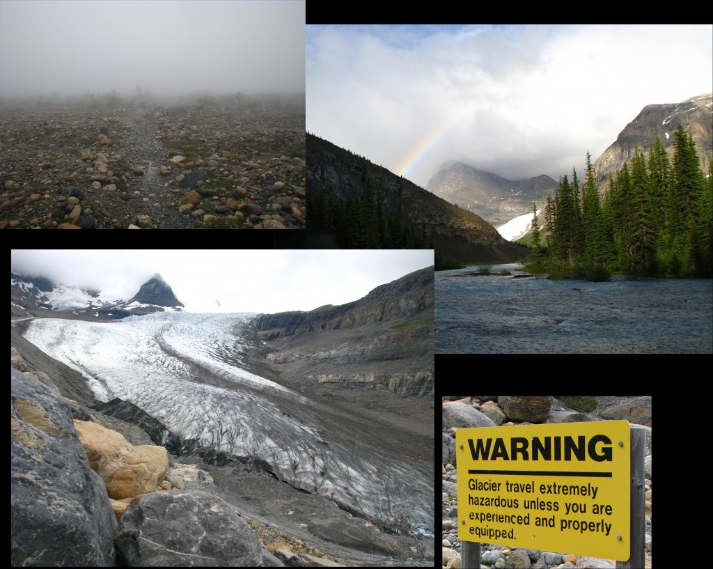
Mount Robson Area, British Columbia (© Dainis Nams)
When the Skyline came back to earth, I hitchhiked across the provincial border to the Mt. Robson area of the B.C. mountains. This was an in-out trail as opposed to the previous hike’s loop. I awoke from my first morning in the tent completely blanketed by a fog that would make Newfoundland proud. However, as this burned off, it revealed increasingly beautiful scenery that culminated in rainbows and glaciers. I chose to follow the rather explicit advice of posted signs and not to venture onto the actively calving glacier.
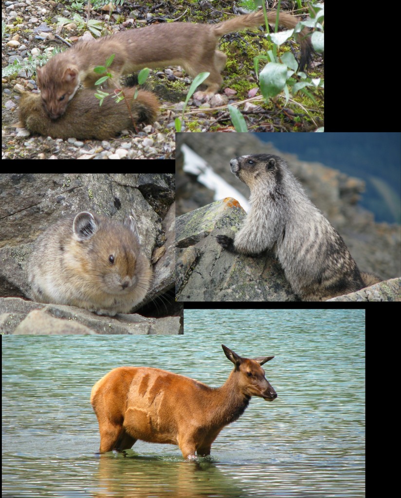
Rocky Mountain Mammals (clockwise from top): long-tailed weasel, hoary marmot, elk, pika (© Dainis Nams)
While on my journeys I saw some animals: a black bear (did not get pictures), a long-tailed weasel (I disturbed his supper time), marmots (fuzzy), pikas (tiny), and elk (shedding).
Finally, a beautiful conclusion to the trip was the surprising number of wildflowers growing in virtually every alpine environment.
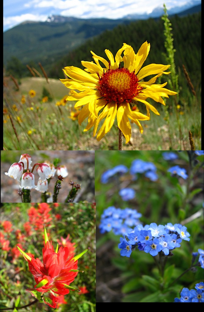
Rocky Mountain Wildflowers (clockwise from top): brown-eyed Susan, alpine forget-me-not, Indian paintbrush, mountain heather (© Dainis Nams)


wow…. love your blog Dainis… very familiar Alberta territory for me.
anita
Hey Anita! Great to have you visit my site. I’ll pass your comment along to Dainis. Cheers!
Magi