Haleakalā National Park offers challenging and easy hikes and stunning vistas that include a massive volcano, lush tropical rainforests, and exquisite waterfalls.
Haleakalā National Park
Haleakalā National Park on the Hawaiian island of Maui encompasses a coast-to-summit 135-square-kilometre area on the massive dormant shield volcano Haleakalā. The volcano comprises much of Maui’s landmass, and the park extends from sea level on the island’s southeast coast to the volcano’s summit at 3084 metres (10,023 feet). Vegetation within the park includes tropical rainforests on the rainy windward eastern side of the volcano, shrublands and grasslands on the volcano’s drier leeward western side, and sparse alpine vegetation at the volcano’s summit and within its erosion-formed crater.1
Hiking trails
Hiking trails in Haleakalā National Park are concentrated in two areas: the high-elevation Summit Area (more than 48 kilometres of trails) and the coastal Kīpahulu District (about 4 kilometres of trails). Within Summit Area, trails are divided into Alpine Desert Hikes and Subalpine Shrubland Hikes. For hike-specific information on all of the trails within the park, click here.
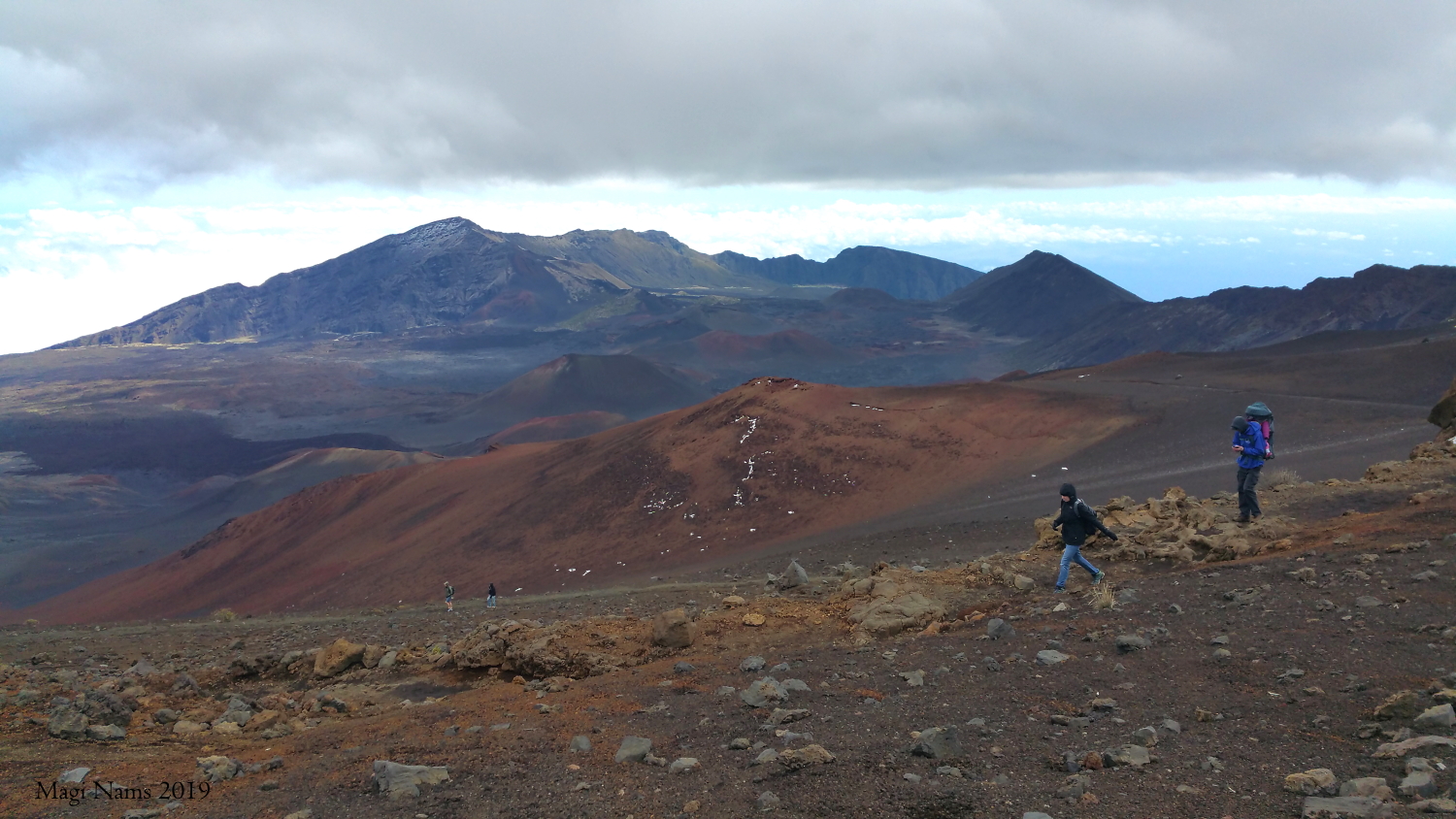
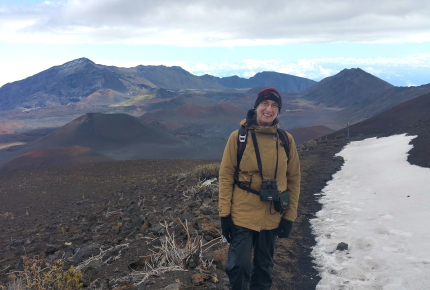
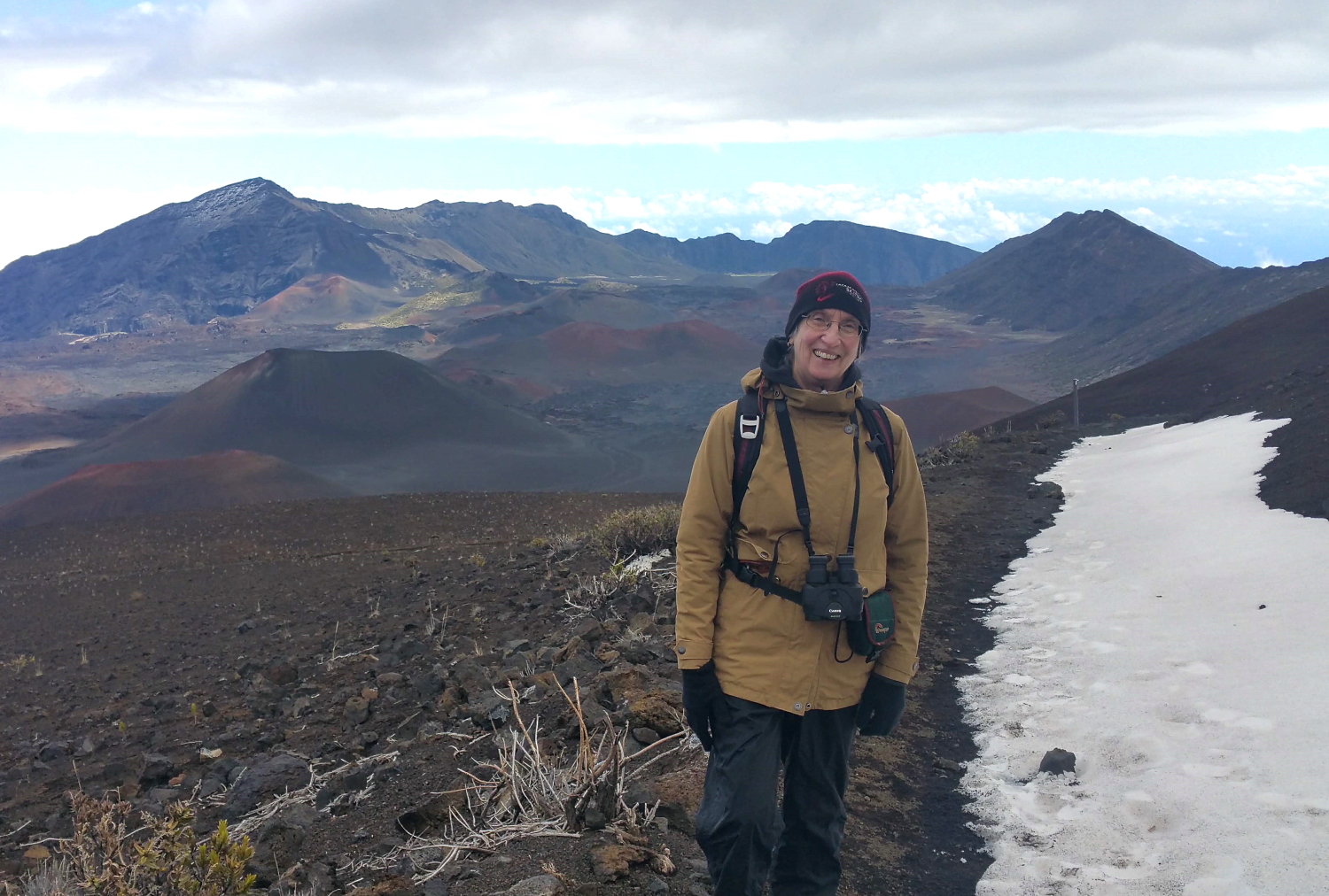
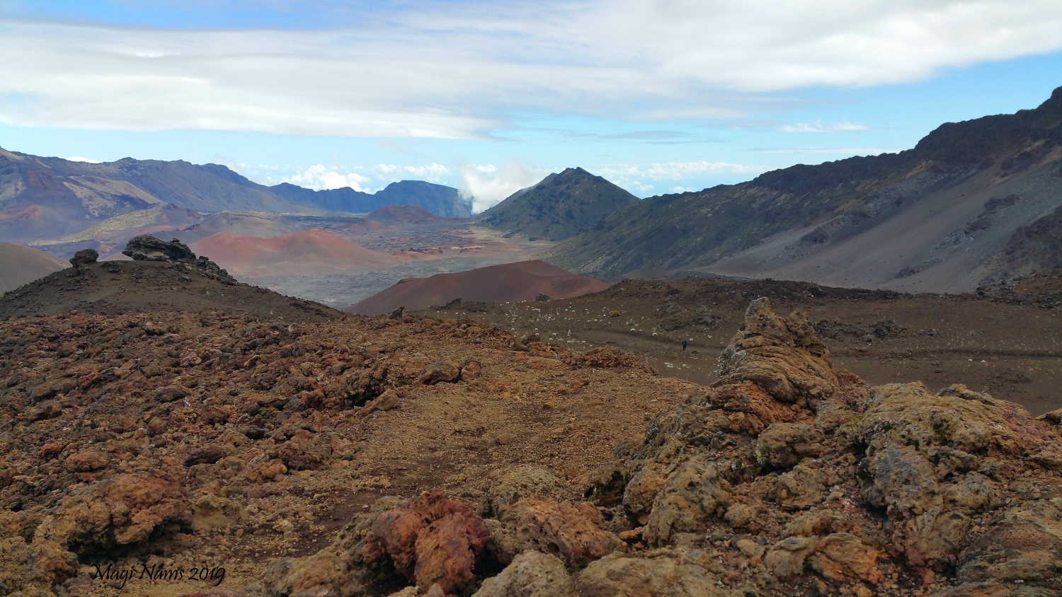
Hiking Keonehe’ehe’e (Sliding Sands) Trail, an alpine desert hike in Summit Area, Haleakalā National Park (© Magi Nams)
Trail Access
To access the Summit Area trails, take the Haleakalā Highway from Kahului (Hwy 37, changing to Hwy 377 ) and turn onto Crater Road (Hwy 378). Drive 32 kilometres of switchbacks and curves on Crater Road to arrive at the summit Visitor Centre. Note that the total distance from Kahului is about 60 kilometres, but the driving time is about 2.5 hours due to low-speed-limit switchbacks on the volcano’s steep northwestern slope.
To access the Kīpahulu District trails, take the Hana Highway from Kahului (Hwy 36, changing to 360, back to 36, then to 31). The total distance from Kahului is about 101 kilometres, but due to the twisty road, the driving time is about 4 hours.
(For information about Maui landscapes and my travels there, see Exploring America: Maui, Hawai’i. For my other two Maui hiking posts, visit Hiking in America: Coastal West Maui, Hawai’i and Hiking in America: West Maui Mountains, Hawai’i. Full disclosure: all hikes were done in February, 2019.)
Dreams of warmer places
Here in northern Nova Scotia, today is winter solstice, the shortest day of the year. I woke this morning to a temperature of 0°C and overcast skies, sending my mind sliding to warmer places where I don’t have to bundle up each time I step outside. That thought reminded me that I promised three posts about hiking on Maui and have so far only delivered two. Thus, today I’m posting—long overdue—about hiking in Maui’s Haleakalā National Park. Exotic landscapes and lush rainforests are always in vogue and just what I need as we dive into winter on shortest day the year. I hope you enjoy the hikes along with me.
Summit Area Hikes, Haleakalā National Park
Keonehe‘ehe‘e (Sliding Sands) Trail
One of Haleakalā National Park’s most popular hikes, Keonehe’ehe’e Trail is a difficult 20.8-kilometre (13-mile) round-trip hike with an elevation drop of 1,000 metres (3,000 feet) to the trail’s lowest point within the crater, and a gain of that same amount on the return climb. View a topographical map of the trail and detailed hiking instructions here.
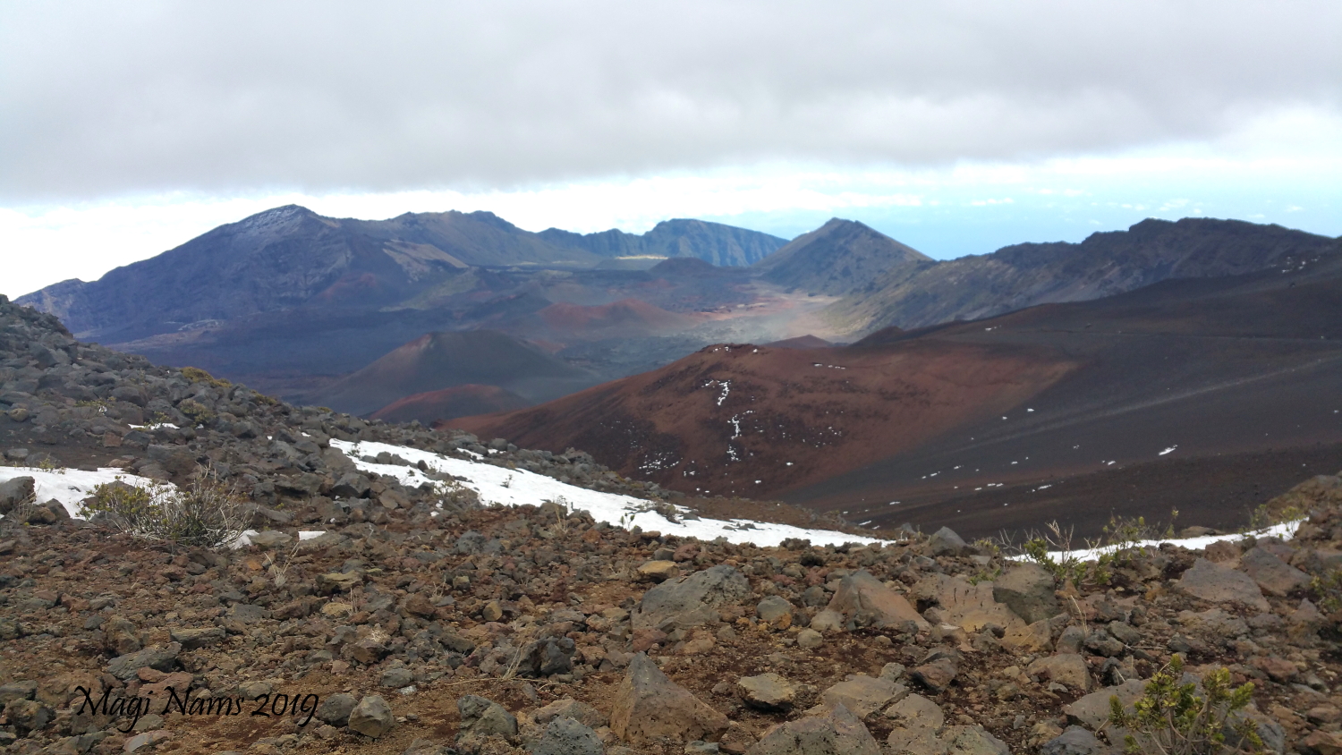
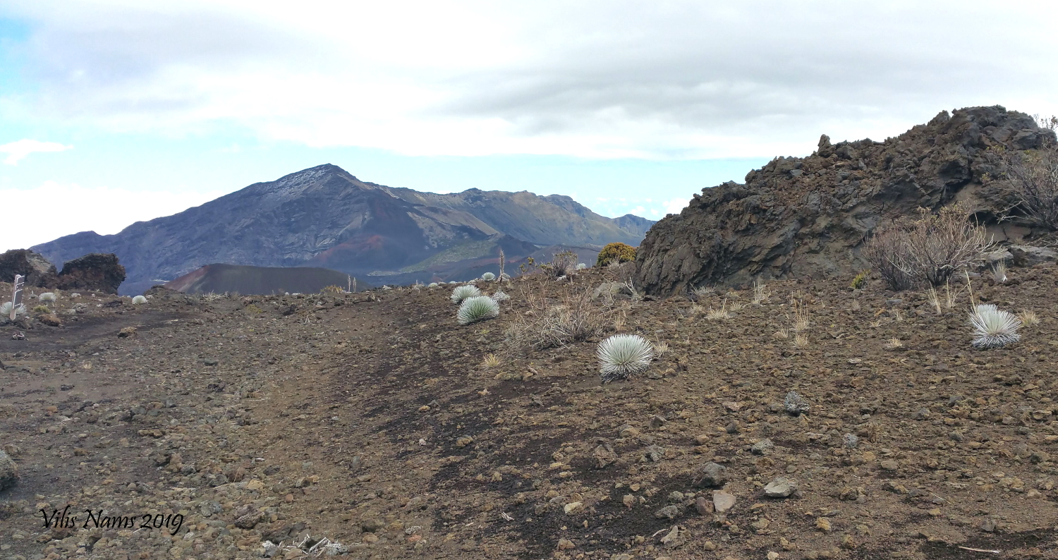
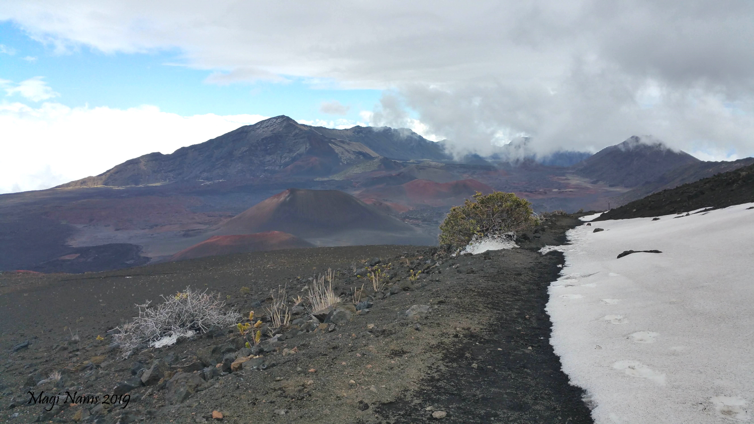
After travelling from our accommodation in northwest Maui, my family and I arrived at the park’s summit Visitor Center in late morning. A major storm a week or so earlier had flooded the island’s West Coast shore and dumped snow onto Haleakalā’s upper reaches. Some of that snow still lingered amid boulder fields and on stretches of trail. Weather was overcast and blustery with distant blue sky to the east. As we set out from the trailhead at the Visitor Center, we all experienced the increased effort of breathing in the cold high-altitude air. Hiking past a shoulder of a cinder cone on the crater rim, we took in our first views of the scree slopes, cinder cones, and valley floor within the crater.
Haleakalā’s crater wasn’t caused by a massive eruption; rather, it’s a deep valley resulting from erosion due to freeze-thaw, wind, water flow, and landslides. Cinder-sand, old lava flows, and cinder cones2 create a raw, spectacular “moonscape” landscape.
As we followed the trail in a gradual descent, we hiked through snow in the lee of a long ridge. Loose talus, rocks, sand, and scattered shrubs and other desiccated-looking plants surrounded us, with the terrain reminiscent of barren High Arctic polar desert I hiked over on Ellesmere Island decades ago, although this landscape had volcanic cones rather than glaciers.
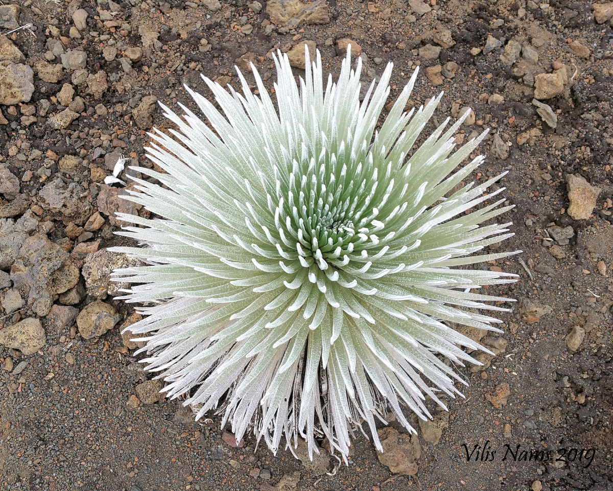
Switchbacks led us further down the crater rim, and we noted sea-urchin-like Haleakalā silversword plants growing alongside the trail, their succulent, hair-covered leaves a ghostly silvery-green colour. Well-adapted to the extreme conditions—cold, wind, sun, and drought—within the crater, the Haleakalā silversword (“āhinahina” in Hawai’ian) can live for decades and sprouts a massive, blossom-bedecked flowering stalk before dying. To learn more about this attractive and intriguing plant, click here.
As we continued our descent, I had the misfortune to step on loose rock and roll my ankle. That slowed me down, and I chose to not attempt the steeper drop down to the crater floor. Younger members of my family continued on, reaching the floor and exploring some of its features before retracing their steps. I slowly made my way back along the trail while my husband Vilis photographed silversword plants and other intriguing sights within the upper crater.
Note to hikers: Allow plenty of time to hike the return portion of this trail, as the thin high-altitude air makes the ascent much more challenging than a climb at lower elevations would be. I had to pause and catch my breath numerous times as I limped along the trail back to the trailhead.
Hosmer Nature Trail
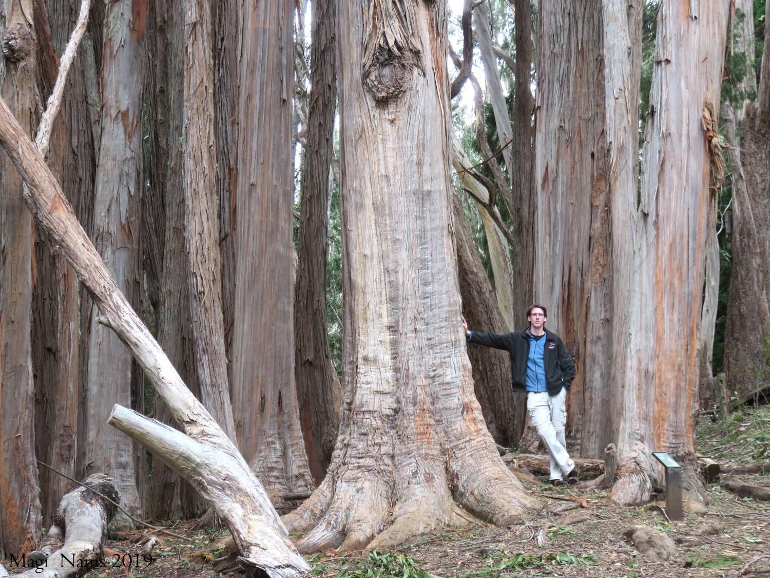
After we all returned to the trailhead and Haleakalā Visitor Center, we drove down the park access road’s steep switchbacks to Hosmer Grove, just inside the park entrance. Abutting native shrubland, the towering grove of exotic tree species—originally planted to control erosion before the park was established—offered a striking and rich contrast to the barren alpine desert we’d hiked through in Haleakalā’s volcanic crater.
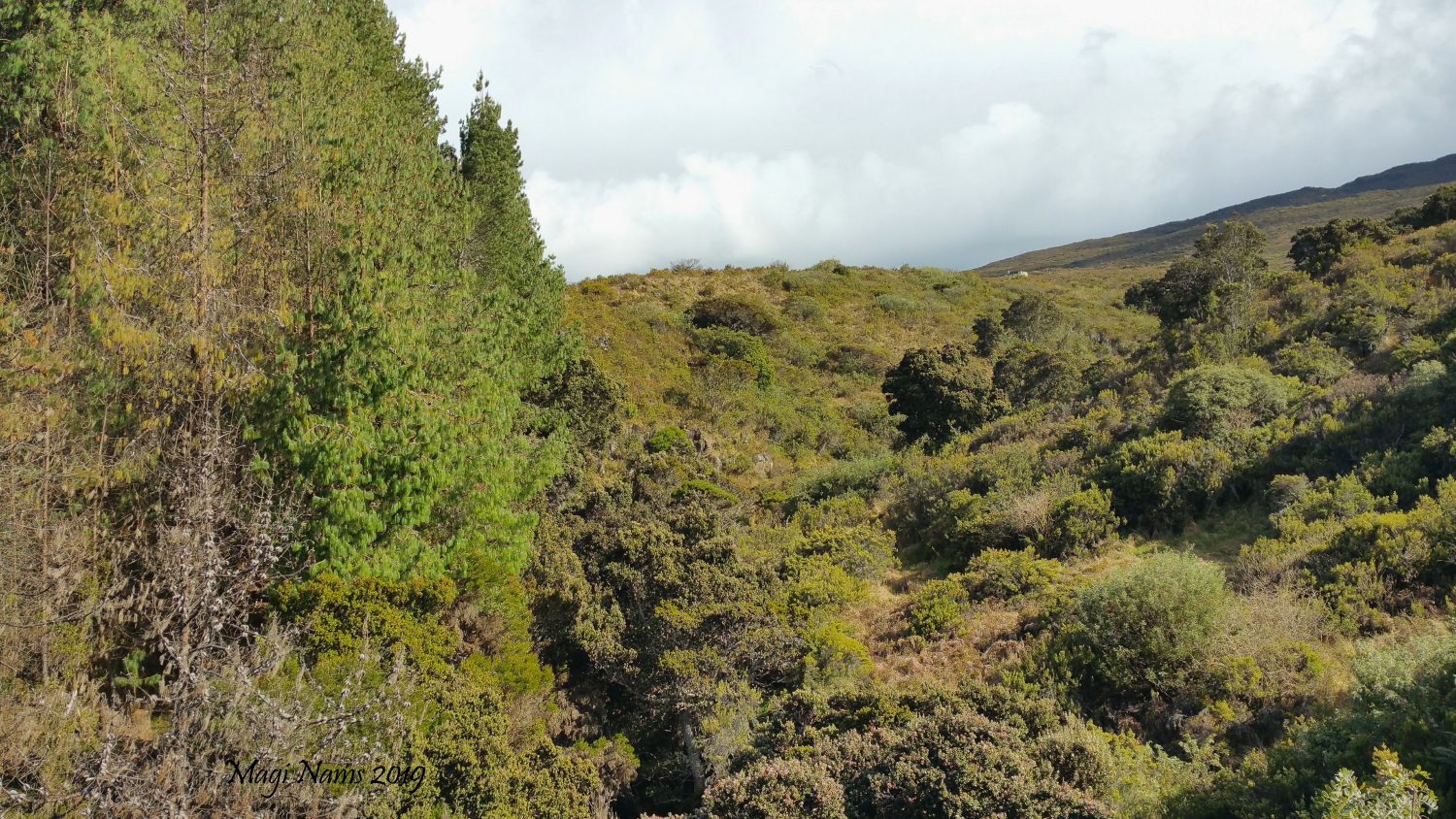
Exotic forest (left) and native shrubland (right) seen from Hosmer Nature Trail, Haleakalā National Park (© Magi Nams)
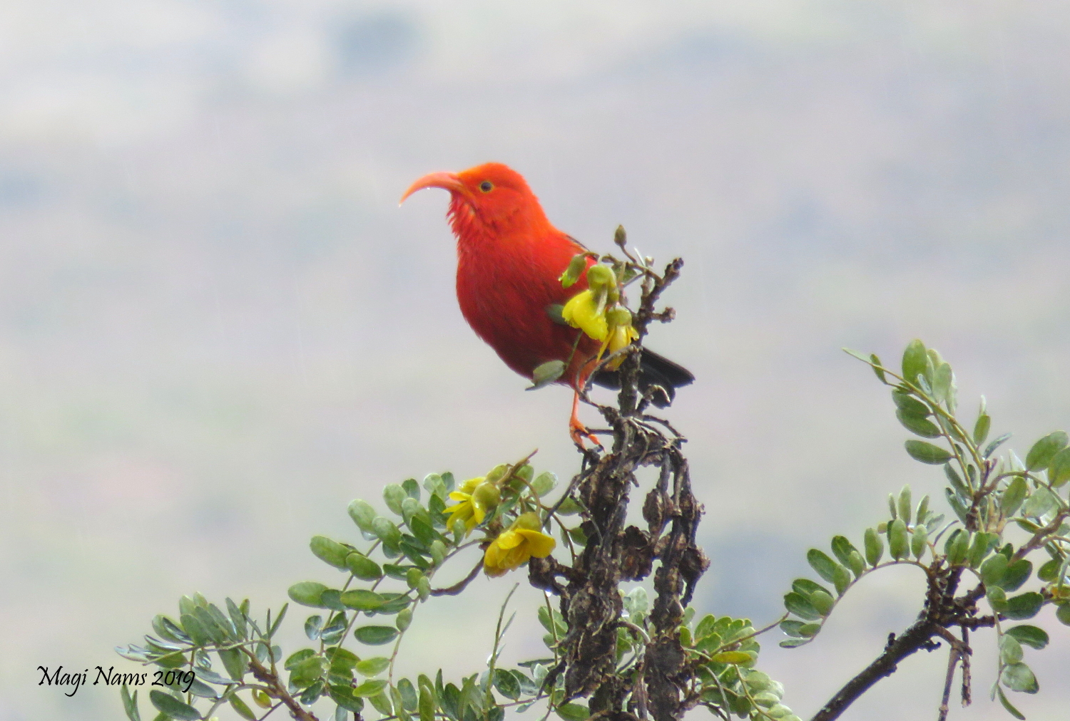
From an open picnic and camping area, Hosmer Nature Trail, a .8-kilometre (.5-mile) loop, led us among massive eucalypts, as well as cedars, pines and other conifers, and then through native shrubland that’s habitat for some of Hawai’i’s most endangered native birds, including the brilliantly plumaged ‘i’wi (see below).
A short easy walk, Hosmer Nature Trail offers interpretative panels and birder-friendly lookoffs as well as an intriguing combination of exotic and native vegetation and rare-bird sighting opportunities.
More Summit Area Trails
For more trails in the Summit Area, click here.
Kīpahulu District Hike, Haleakalā National Park
If Keonehe’ehe’e (Sliding Sands) Trail is all about stark volcanic crater, and Hosmer Nature Trail is all about colliding exotic and native habitats and rare birds, then hiking in the Kīpahulu District of Haleakalā National Park is all about rainforest and waterfalls.
Pīpīwai Trail
Pressed for time during a drive around the base of Halaeakalā, Vilis, I, and our younger son hiked only the relatively easy 3.2-kilometre (2 mile) (one-way) Pīpīwai Trail, the longest of the short trails in the Kīpahulu District of Halaeakalā National Park.
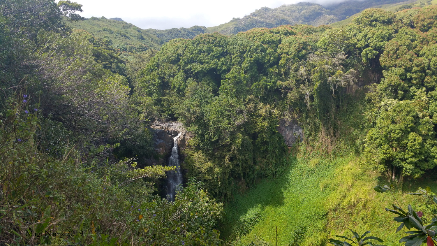
Running roughly parallel to Palikea Stream, the mostly forested trail first led us .8 km (.5 mile) to Makahiku Overlook. From the viewpoint we gazed out over lushly captivating rainforest surrounding Makahiku Falls. The scene was everything I equated with a tropical paradise and the antithesis of the barren crater landscape my family had earlier explored.
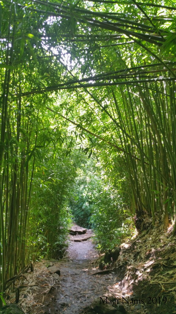
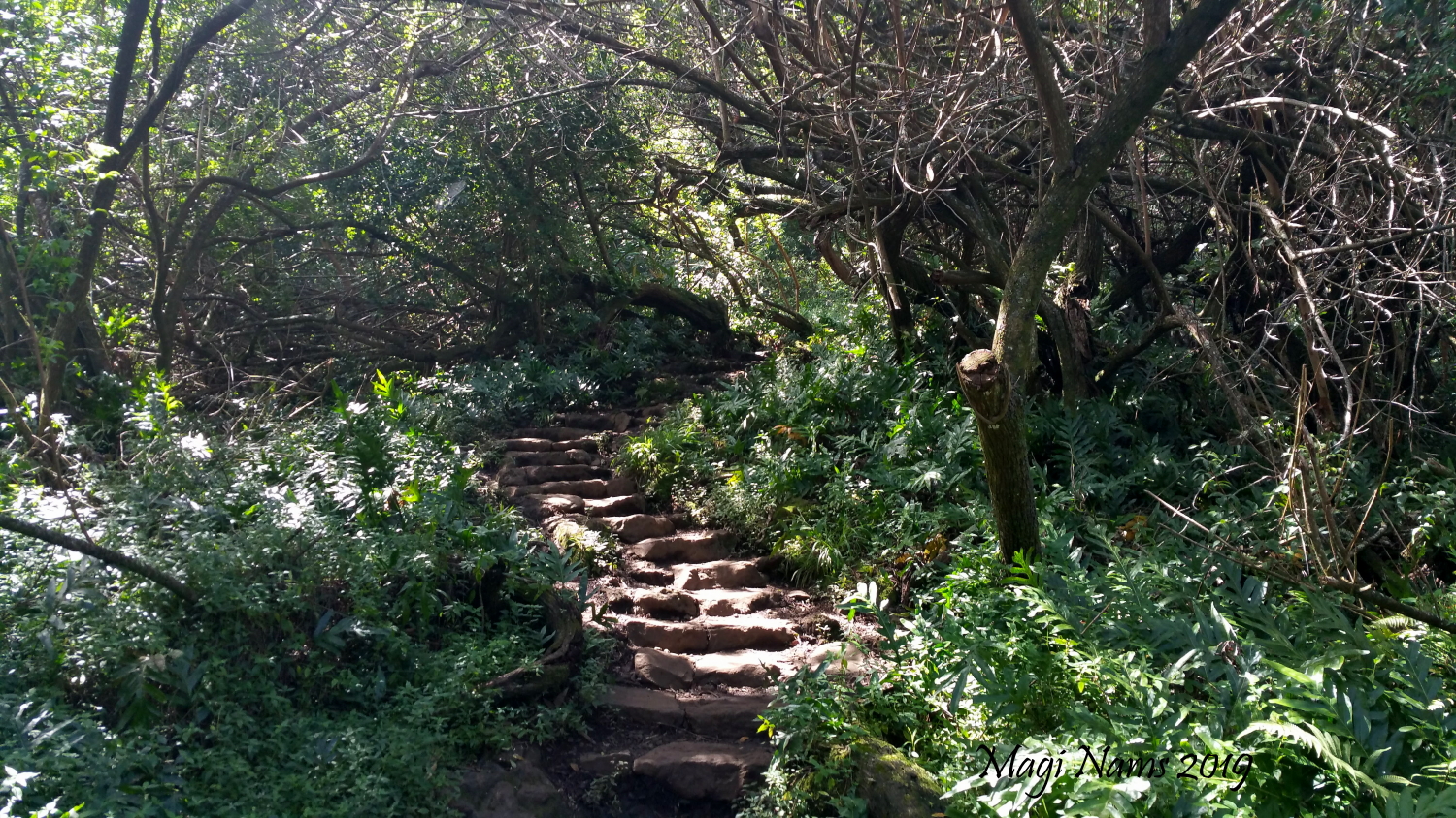
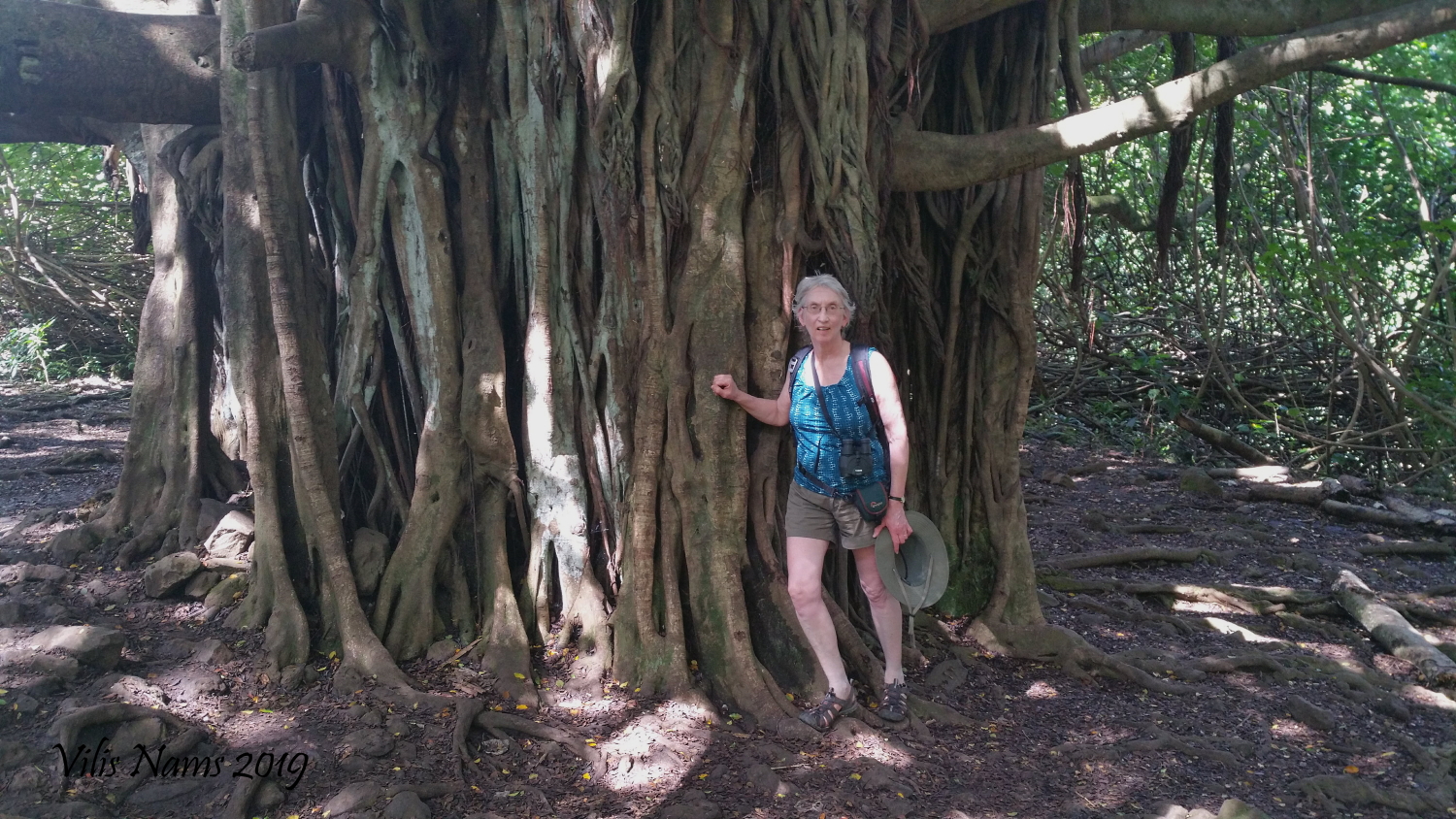
Beyond Makahiku Overlook, stone steps enticed us into a “tunnel” edged with ferns and tangled shrubs and then past a massive baobab tree.
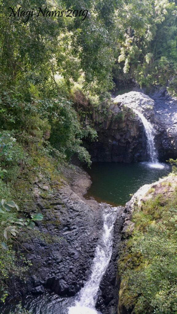
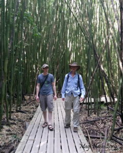
Along the route we also passed a series of delightful rock pools graced with small waterfalls and then hiked through a dense stand of fist-thick bamboo stalks that towered over us, some leaning at crazy angles.
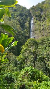
This trail offered an eclectic and delightful mix of scenery and vegetation. Near its end, through forest gaps we caught entrancing glimpses of spectacular 65-metre-high (200-foot) Waimoku Falls. Like Makahiku Falls, Waimoku Falls cascades down a sheer rock face and is surrounded by dense, lush tropical vegetation. On a hot Hawai’ian afternoon, the falls offered a refreshing sight and an excellent hiking reward. For a more detailed description of Pīpīwai Trail, click here.
A hiking trail for everyone
In summary, if you’re on the island of Maui or planning a trip there, don’t miss out on the diverse hiking opportunities offered in Haleakalā National Park. Trails vary from easy to challenging and feature an austere volcanic crater, flora- and fauna-rich shrublands, or lush waterfall-decorated rainforest. This park truly does have a hiking trail for every level of experience. Highly recommended!
References:
- https://www.nps.gov/hale/learn/nature/naturalfeaturesandecosystems.htm
- Interpretive sign near the Summit Area trailhead, Haleakalā National Park.

